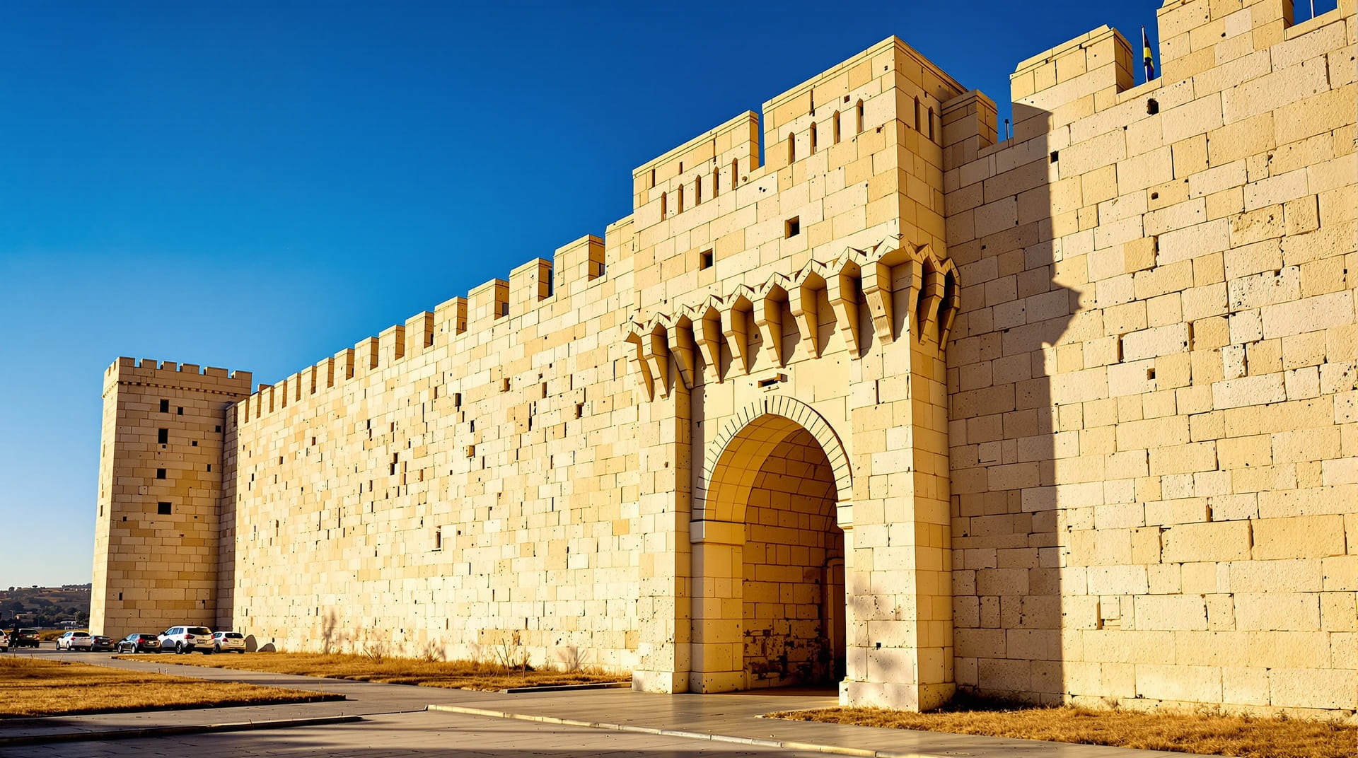
The walled Old City covers rather less than a square kilometre, which surprises most readers who meet it through the literature rather than on foot. Within that compass sits a street plan laid out by Roman surveyors, a wall circuit of the sixteenth century, and a depth of debris that in places lifts the pavement several metres above the surfaces pilgrims of late antiquity walked. This article is concerned with that physical geography alone: terrain, walls, gates, streets and routes, and the documents that let us reconstruct them.
The Terrain Beneath the City
The site is a pair of limestone ridges separated by a shallow depression, the valley known in ancient sources as the Tyropoeon, with deeper valleys east, south and west. The ground rises toward the north-west, which is why the walls there stand on the highest ground and why the northern approaches were always the vulnerable ones. Successive rebuilding has softened this: rubble was levelled rather than carted away, so the central valley is barely perceptible and once-steep slopes read as gentle gradients. Water was the constant limiting factor, and the rock beneath is honeycombed with cut cisterns of many periods.
The Roman Grid Beneath the Lanes
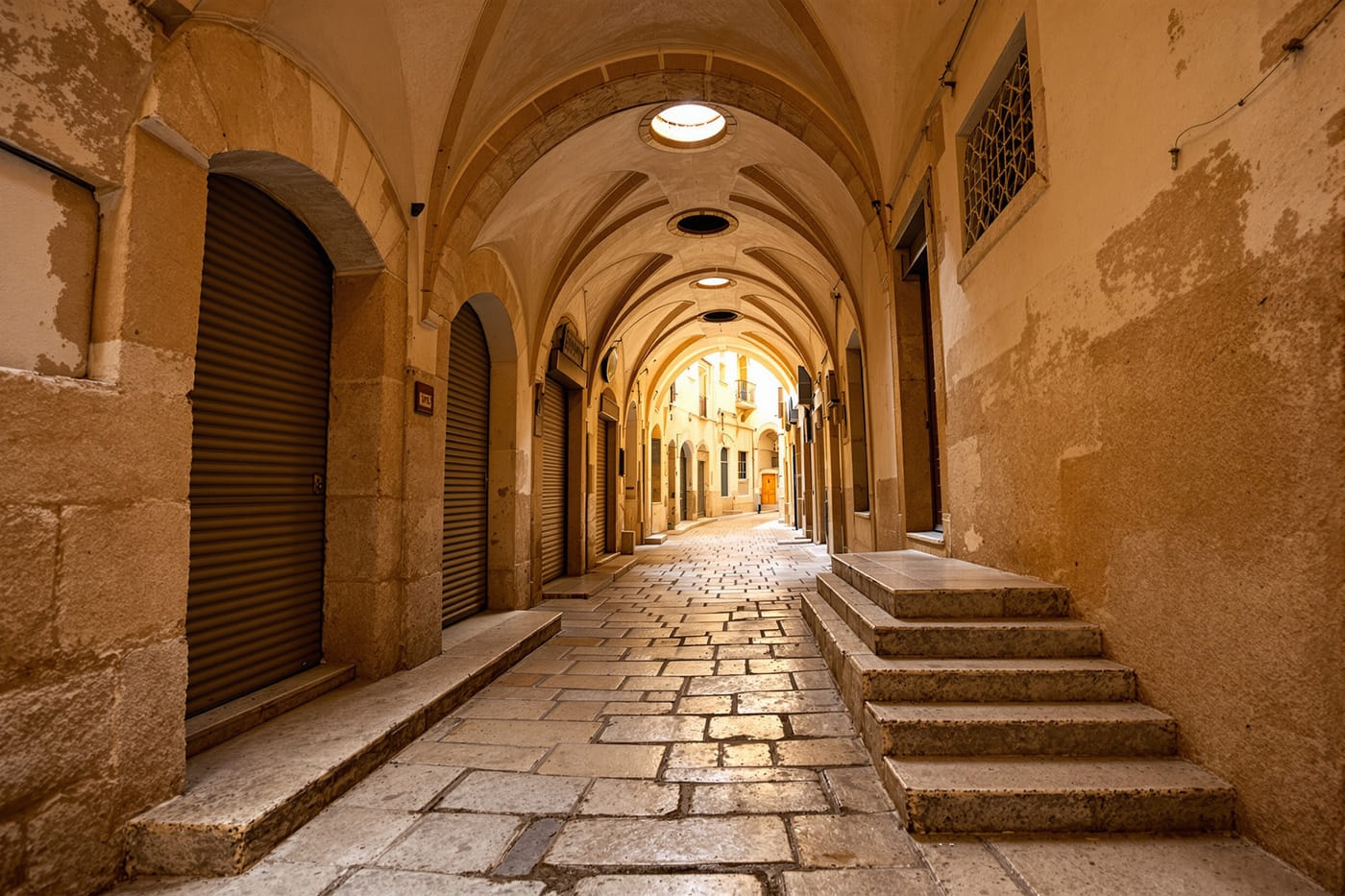
The colonial refoundation of 135 imposed an orthogonal grid on ground that had not carried one, and it is the most durable thing about the city's plan. A broad colonnaded main street, the cardo maximus, ran south from the great northern gate; a second cardo followed the central valley; and an east-west decumanus crossed them. Behind the northern gate lay a paved plaza with a free-standing column, the point from which distances were measured. Excavation has exposed a long stretch of the sixth-century extension of the main cardo — column bases, shop fronts and stepped side entrances — several metres below the modern surface, and in the northern half the lanes still follow the Roman alignments.
The Madaba Map
The most valuable single document for the late-antique city is a mosaic floor uncovered in 1884 at Madaba, east of the Jordan, and published from 1897. Laid in the second half of the sixth century, it is a topographic map oriented with east at the top, and its largest vignette is Jerusalem, an oval walled city in oblique bird's-eye projection. The colonnaded cardo runs the length of the oval with its porticoes marked on both sides, the northern gate and its plaza column are clearly drawn, and roughly twenty buildings can be identified, among them the fourth-century shrine complex with its stepped entry and domed rotunda. Where excavation has tested the map it has repeatedly proved accurate; the Britannica account of the Madaba map summarises its content and dating.
The Sixteenth-Century Walls
The present circuit was built between 1537 and 1541, in a wave of frontier fortification under the Ottoman ruler Suleiman I. It runs roughly four kilometres, stands about twelve metres high, and carries some three dozen towers, most of them square and projecting only slightly. The builders reused earlier courses wherever they were sound, so Herodian, Byzantine and medieval masonry all appear low in the wall, distinguishable by the size and dressing of the blocks. The line follows the medieval circuit except in the south, where it was drawn in and left the higher ground of Mount Zion outside.
The Gates
Eight gates pierce the circuit, of which seven are open and one has long been blocked. Their names are unstable, a nuisance in the older literature: most carry a local name, a European name and often a third used in pilgrim accounts.
| Common name | Also called | Faces | Note |
|---|---|---|---|
| Damascus Gate | Nablus Gate, Gate of the Column | North | The most elaborate of the circuit; a Roman gate and plaza survive beneath. |
| Jaffa Gate | Gate of the Friend | West | An L-shaped entry passage; the breach beside it was opened in 1898. |
| New Gate | Gate of the Sultan | North-west | Cut through the wall in 1889 to serve the quarter outside. |
| Zion Gate | Gate of the Prophet David | South | Bent entrance passage; faces the ground left outside the circuit. |
| Dung Gate | Gate of the Moors | South-east | Originally a small postern; widened in the twentieth century. |
| Lions' Gate | Saint Stephen's Gate | East | Named from the carved feline reliefs flanking the arch. |
| Golden Gate | Gate of Mercy | East | Twin-arched; blocked since the medieval period. |
| Herod's Gate | Flowers Gate | North-east | A modest gate replacing an earlier bent passage. |
The Four Quarters
The habit of describing the walled city as four quarters is more recent than it looks. It was formalised in nineteenth-century European survey maps, which needed tidy divisions and drew them along the two principal street lines meeting near the centre, giving the familiar Christian, Armenian, Jewish and Muslim quarters. The medieval city was not organised that way: it was a mosaic of neighbourhoods, markets, hospices and communal institutions, and earlier pilgrim descriptions do not use the scheme at all. The convention remains useful shorthand, but it is a poor guide to how the city worked in any earlier period.
How the Routes Thread the City
Pilgrims arriving overland generally entered from the north or west, and their visits followed the street grid rather than cutting across it. The processional route running from the eastern side of the enclosure westward to the Church of the Holy Sepulchre took its present form only gradually, between the fourteenth and nineteenth centuries; earlier travellers describe different sequences of stops. The road to Bethlehem left by the south-west, and tracks toward the monasteries of the Judean desert dropped into the valley and out through the eastern wall. Those itineraries are set out under the pilgrimage sites of the Holy Land, and the dated sequence of construction and rebuilding in the timeline. For general background the Britannica entry on Jerusalem is a sound overview, and many of the travel narratives quoted across this site are translated in the Internet Medieval Sourcebook.